Venezuela's Quake Lifted Trinidad's Coast 20 Feet. AI Could Warn the Caribbean Next Time
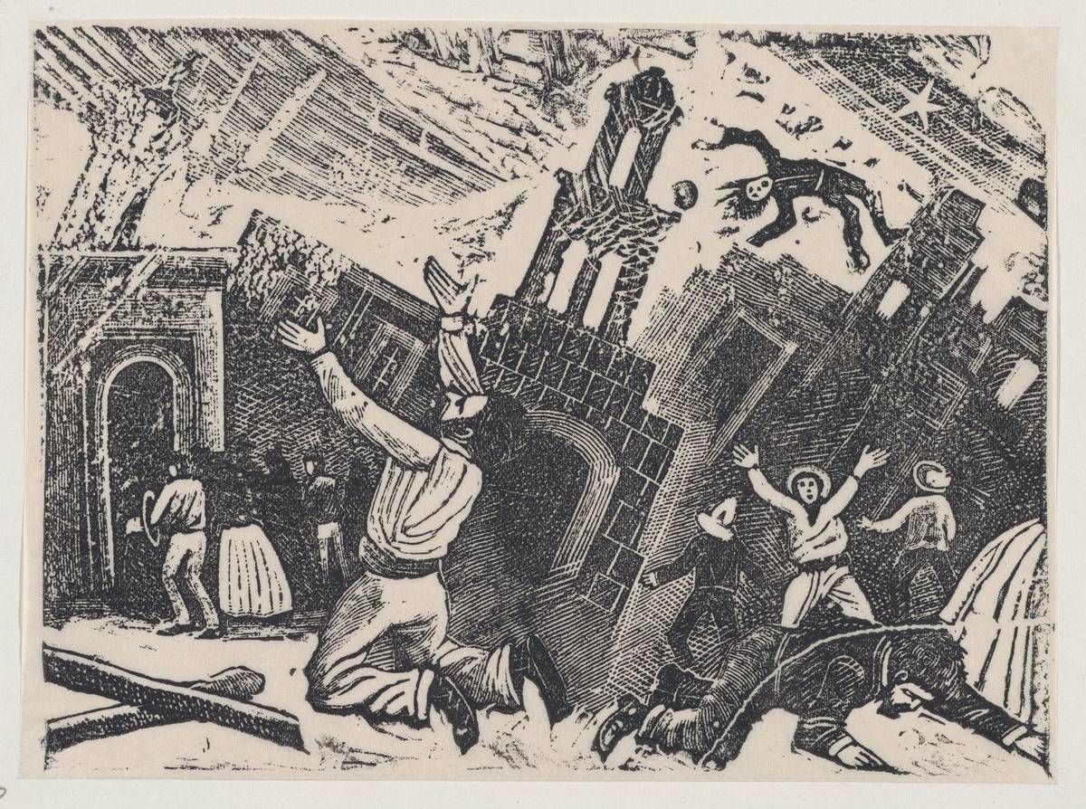
On 24 June 2026, twin earthquakes of magnitude 7.2 and 7.5 struck Venezuela's Yaracuy state and killed more than 5,100 people. Hundreds of kilometres away, the coastline at Galfa Point, Cedros, in southwestern Trinidad rose by up to 20 feet (about 6 metres) within minutes. UWI's Seismic Research Centre has confirmed the quakes triggered the uplift. The Caribbean plans for hurricanes; this event shows why earthquakes need the same attention, and where AI tools can help.
What happened on 24 June and why Trinidad's coast moved
At 18:04 Venezuelan time, a magnitude 7.2 foreshock struck near Veroes Municipality in Yaracuy state, west of San Felipe. Thirty-nine seconds later a magnitude 7.5 mainshock ruptured along the same San Sebastian fault system. UWI's Seismic Research Centre assessed that the two events shared similar focal mechanisms and could be treated as one rupture, with combined shaking lasting more than 10 minutes.
| Measure | Reported figure |
|---|---|
| Deaths confirmed | More than 5,100 |
| Injured | 16,740 |
| Missing (early estimates) | Up to 50,000 |
| Buildings collapsed | Nearly 800, of which 189 completely levelled |
| Structures damaged | About 590,000 |
| Direct damage (World Bank early estimate) | About US$37 billion |
La Guaira state was hit hardest. The San Sebastian fault runs close to the boundary between the Caribbean and South American plates and connects to fault systems that extend under Trinidad. The rupture moved enough stress along that system to shift the seabed on the Trinidad side.
Geologist Xavier Moonan, who led the first field assessment for UWI, estimated that the Galfa Point coastline rose as much as 20 feet almost at once. In the following days, residents reported hundreds of stranded sea creatures and newly exposed natural oil seeps. UWI geologist Kafele Reddock led the follow-up work on whether the tremors also set off a wider seabed landslip.
Tremors were felt in Aruba, Bonaire, Curaçao and the Dominican Republic, and stations in Puerto Rico recorded a tsunami of about 4 centimetres. One earthquake sequence reached at least six Caribbean jurisdictions in an afternoon.
The Caribbean's earthquake record
The Caribbean plate sits between the North American and South American plates, and its faults have produced some of the deadliest earthquakes in the hemisphere.
- Haiti, 2010: magnitude 7.0 on the Enriquillo-Plantain Garden fault. Death toll estimates run from about 220,000 to 300,000.
- Jamaica, 1692 and 1907: the first destroyed Port Royal; the second levelled much of Kingston.
- Puerto Rico Trench: the deepest part of the Atlantic, on a subduction zone capable of large earthquakes and tsunamis.
- Trinidad and Tobago: close to the El Pilar and San Sebastian fault systems, which is why seismologists treat it and northern Venezuela as one connected system.
Hurricanes take most of the region's disaster budget, and they arrive far more often. The June event moved the ground on another country's coast by six metres from hundreds of kilometres away. A rupture on Trinidad's own faults, or a repeat of 2010 elsewhere, would come with no distance to absorb it.
Five ways AI can shorten warning and recovery times
Every tool below is already running in another earthquake-prone country. None needs new science.
1. Earthquake early warning on the existing seismic network
The fast, low-damage P-wave of an earthquake arrives seconds to tens of seconds before the destructive S-wave. Machine learning models on dense sensor networks, and on smartphone accelerometers through systems such as California's MyShake, detect the P-wave and push alerts to phones, schools and utilities before the strong shaking. Mexico's SASMEX has given Mexico City 60 seconds or more of warning for quakes on the Pacific coast.
The Caribbean has no public AI-based early warning network. UWI's Seismic Research Centre, based in Trinidad, already runs the core seismic monitoring for the Eastern Caribbean. Adding a detection model and an alert system to that network costs far less than building a new one. Warning time depends on distance: a town within a few tens of kilometres of the epicentre may get none.
2. Satellite monitoring of ground movement
InSAR (Interferometric Synthetic Aperture Radar) compares satellite radar images of the same place taken weeks apart and measures ground movement to within a few millimetres. Models trained on these time series can show which fault segments and coastlines are building up strain. They cannot give a date for the next earthquake. They can tell a government where to put extra sensors, which buildings to retrofit first and which evacuation plans to test.
3. Tsunami forecasts for specific bays
The 4-centimetre wave in Puerto Rico showed the detection chain works. Models that combine buoy data, seismic readings and seabed depth maps can forecast flooding for particular bays and beaches within minutes of an offshore quake, instead of one blanket warning for a whole coast. For coastlines packed with hotels, from Trinidad's southwest to the north coasts of Jamaica and the Dominican Republic, targeted warnings reduce the false alarms that teach people to ignore the next one.
4. Screening buildings for collapse risk
Most Caribbean schools, clinics and older hotels have never had a seismic assessment. Vision models on satellite and street-level images can screen buildings at scale for construction types, ages and shapes linked to collapse. Engineers in Japan and Chile do this triage by hand. Automated screening does not replace an engineer's inspection; it tells a small pool of engineers which buildings to visit first.
5. Damage mapping and faster payouts
After Haiti's 2021 earthquake and Turkey's 2023 earthquakes, models comparing before-and-after satellite and drone images found collapsed buildings within hours, work that took survey teams days or weeks. CCRIF SPC, the Caribbean Catastrophe Risk Insurance Facility, already pays member governments automatically when an earthquake or hurricane crosses a preset threshold. Better damage data can improve the models behind those thresholds, so payouts match losses more closely.
What Caribbean governments and agencies should do in the next 12 months
- Finance ministries with UWI's Seismic Research Centre: fund a costed plan for an AI detection and alert layer on the existing Eastern Caribbean network, with a pilot alert to schools and hospitals in Trinidad and one other member state.
- CDEMA: add satellite ground-deformation data to the regional risk profile alongside hurricane and flood models, starting with Trinidad's southwest peninsula, where the 2026 uplift gives a measured baseline.
- National disaster offices (ODPM in Trinidad and Tobago, ODPEM in Jamaica): commission automated collapse-risk screening of every public school and hospital in the highest-risk coastal zones, and publish the ranked list for the ministries responsible for each building.
- Tourism ministries and hotel associations: require coastal hotels to hold a tsunami evacuation plan tied to the regional warning system, and test it once a year with staff and guests.
- Finance ministries: review their CCRIF earthquake cover now, before the next event, and check whether the attachment point and coverage limit match current exposure.
Early warning is the weakest link in this list. It depends on sensor density that most islands do not have yet, and for a quake on a local fault the warning may be only a few seconds. Screening buildings and speeding up payouts will save more lives per dollar in the short term.
Frequently Asked Questions
Who issues earthquake and tsunami warnings in the Caribbean today?
Tsunami alerts for the region come through the UNESCO-coordinated CARIBE-EWS system, with the Pacific Tsunami Warning Center issuing threat messages to national focal points. UWI's Seismic Research Centre in Trinidad monitors earthquakes for most English-speaking Eastern Caribbean states, and Jamaica's Earthquake Unit at UWI Mona covers Jamaica. National disaster offices, such as ODPM in Trinidad and Tobago and ODPEM in Jamaica, pass warnings to the public.
How much warning could an early warning system give a Caribbean island?
It depends on the distance from the epicentre. For a quake several hundred kilometres away, as in June 2026, alerts could arrive tens of seconds before strong shaking. For a quake on a fault under or next to the island, the warning may be a few seconds or nothing. That is enough to stop trains and lifts, open fire station doors and get children under desks, but not to evacuate.
What should a household in Trinidad or Jamaica do when an earthquake starts?
Drop, cover and hold on: get down, take cover under a sturdy table and hold on until the shaking stops. Do not run outside during shaking, because falling glass and masonry cause many injuries. If you are on the coast and the shaking is strong or long, move to high ground straight away without waiting for an official warning.
Does CCRIF cover earthquakes, and how fast does it pay?
Yes. CCRIF SPC offers parametric earthquake cover to member governments alongside hurricane and excess rainfall policies. Payouts are calculated from the event's measured parameters instead of a damage survey, and CCRIF aims to pay within 14 days. It pays the government, not households or businesses, so private property still needs its own insurance.
Where can I see data on the June 2026 uplift and other Caribbean earthquakes?
UWI's Seismic Research Centre publishes earthquake reports and bulletins for the Eastern Caribbean on its website, and the US Geological Survey lists every recorded earthquake worldwide with magnitude, depth and location. Free satellite radar from the European Space Agency's Sentinel-1 mission is the usual source for InSAR studies of ground movement like the Galfa Point uplift.