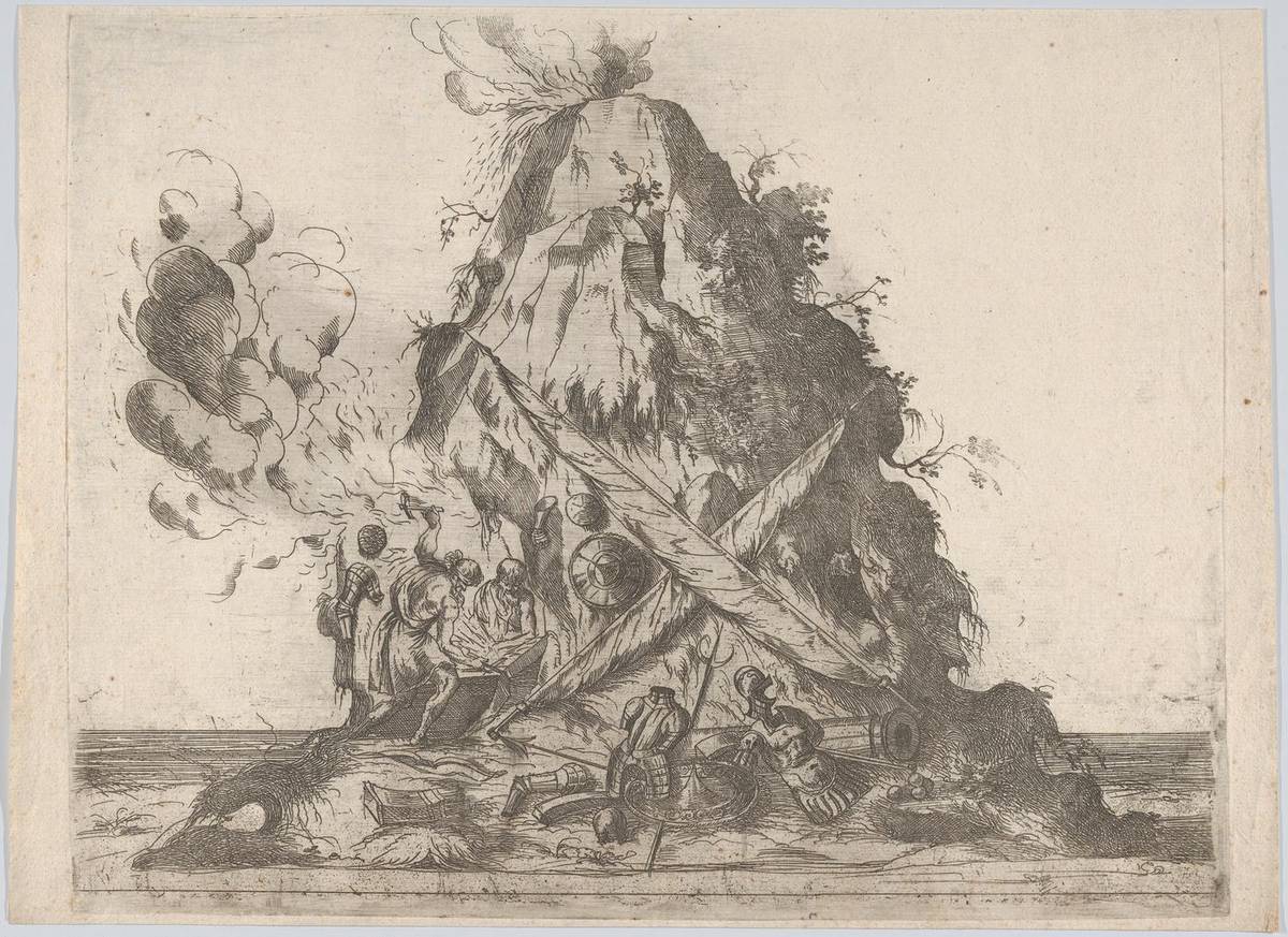
In April 2021, La Soufrière erupted explosively and about 20,000 people were evacuated from the north of St. Vincent. Ash and lahars buried farmland and fouled water supplies across the northern third of the island, and damage was put at over US$150 million.
Saint Vincent and the Grenadines has an economy of about US$1 billion and three assets no other Caribbean state has in the same combination: the world's best-known arrowroot starch industry, the Grenadines sailing circuit, and La Soufrière, an active volcano. Each points to a specific AI project. Below are five, with what each would take to start and who should lead it.
Opportunity 1: Weather routing and berth forecasting for Grenadines charters
The Grenadines run for about 60 miles from Bequia to Petit St. Vincent, taking in Mustique, Canouan, Mayreau, Union Island and the Tobago Cays Marine Park. Charter sailing, provisioning, marinas and boat maintenance form one of the country's main sources of foreign exchange, and the business depends on wind, weather and logistics.
Three AI applications fit it:
- Passage weather. Machine learning models that combine NOAA forecasts with local wind and sea-state readings can give island-by-island guidance for open passages such as Bequia to Mustique, where conditions change faster than regional forecasts show.
- Berth and anchorage forecasting. Charter yachts and commercial vessels broadcast their position by AIS. A model reading that feed can predict arrivals at Admiralty Bay, Clifton Harbour, Blue Lagoon and Ottley Hall 12 to 48 hours ahead, so fuel docks and provisioners can staff and stock for peak days.
- Charter pricing. Revenue management tools of the kind hotels use can price charter days by season, fleet availability and demand in competing destinations. Small operators can test them against last season's bookings before committing.
The berth forecast is the cheapest place to start. AIS data is publicly available, and a working dashboard for three anchorages is a matter of weeks with open-source tools.
Opportunity 2: Quality grading and harvest timing for arrowroot
St. Vincent has long been the world's leading supplier of arrowroot starch, processed through the St. Vincent Arrowroot Industry Association (SVAIA) factory at Georgetown on the Windward coast. Starch sells at different prices by grade: pharmaceutical grade, used as a tablet excipient, earns more than food grade, which earns more than industrial grade.
Pharmaceutical buyers need consistent, documented quality. Two AI tools address that and the supply problems behind it:
- Computer vision grading. A camera system trained on starch samples, checked against laboratory tests, can flag contamination and particle size problems more consistently than manual inspection. A 90-day pilot at Georgetown would show whether enough output meets pharmaceutical specification to justify certification.
- Harvest and delivery scheduling. Rhizome starch content peaks at a point that depends on planting date, rainfall and soil moisture. A simple model built on factory intake records and weather data can tell farmers when to harvest and give them delivery slots, which evens out the months when the factory sits idle and the months when farmers queue.
I have not put a revenue figure on this. The premium depends on certification costs, buyer contracts and current production volumes, and SVAIA is the only body with those numbers. Its first step should be to ask two pharmaceutical excipient buyers what specification and volume they would need.
Opportunity 3: Stock monitoring and illegal fishing detection
Around 3,000 artisanal fishers work from St. Vincent and the Grenadines, catching flying fish, kingfish, mahi-mahi and tuna from pirogues. Monitoring is mostly basic landing data from markets in Kingstown, Barrouallie and the Grenadines, which gives the Fisheries Division little basis for setting catch limits.
- Catch-per-effort analysis. Digitising landing records by boat, trip and species lets a simple model spot falling catch per trip, the earliest sign of a stock in trouble. This needs a tablet at each landing site more than it needs sonar.
- Protected area surveillance. Satellite AIS and radar imagery, analysed by services such as Global Fishing Watch, can show vessels loitering in the Tobago Cays Marine Park and direct coast guard patrols to them.
Healthy reefs in the Tobago Cays support both the fishery and the charter trade, so the Marine Park is the obvious first site for surveillance.
Opportunity 4: Disease detection and price information for smallholders
Banana production fell sharply after European trade preferences ended in the 2000s, but bananas still support many farm families on the Windward side. Root crops (dasheen, eddoe, yam and sweet potato) matter for food security and for export to diaspora markets in the UK, Canada and the US.
- Black Sigatoka detection. This fungal disease is the main constraint on banana yields. Phone-based image tools can help extension officers and farmers spot early infection so leaves are removed before spores spread.
- Price information by WhatsApp or SMS. Farmers who know current prices in Barbados, Trinidad and diaspora wholesale markets negotiate better and choose what to plant with more confidence.
The Inter-American Institute for Cooperation on Agriculture (IICA) has a country office in St. Vincent and has run mobile advisory tools elsewhere in the Eastern Caribbean, which makes it the natural partner for the Ministry of Agriculture.
Opportunity 5: Volcano monitoring, evacuation and damage mapping
La Soufrière rises to 1,234 metres at the north end of St. Vincent. The UWI Seismic Research Centre (UWI-SRC) runs its monitoring network of seismometers and GPS stations, and its scientists issued the alerts that led to the evacuation order a day before the first explosive eruption on 9 April 2021. The 2020–2021 sequence was the first explosive activity since 1979.
AI can add to that system in three places:
- Monitoring. Machine learning models can classify seismic signals automatically and combine them with ground deformation from GPS and InSAR satellite radar and with gas readings, so changes are flagged around the clock. They support the scientists' judgement; they do not replace it.
- Evacuation planning. Northern St. Vincent has steep terrain and few roads. Route planning that uses road conditions and a register of households with elderly or disabled residents shows where buses and helpers are needed first.
- Damage mapping. Before-and-after satellite images, available through the Copernicus Emergency Management Service and the International Charter on Space and Major Disasters, can map ash and lahar damage within days, which speeds up aid applications and insurance claims.
The weakest link is the vulnerability register, not the software. It requires consent, regular updating and a clear owner, and it is the part most likely to be left undone.
What to do in the next six months
- SVAIA: ask two pharmaceutical excipient buyers for their specification and volume requirements. If the answer is promising, apply to the Caribbean Development Bank, which has funded agricultural modernisation in St. Vincent, for a 90-day computer vision grading pilot at Georgetown.
- Tourism Authority and marina operators: build an AIS arrival dashboard for Admiralty Bay, Clifton Harbour and the Tobago Cays. Use public AIS data and open-source tools, and target the next peak season.
- National Emergency Management Organisation (NEMO) and UWI-SRC: fund automated seismic classification on the existing La Soufrière network. Start by listing which data streams already reach the observatory in real time.
- NEMO and the Ministry of Social Development: start a voluntary register of residents in the northern zones who need help to evacuate. Assign one officer to keep it current and test it in the next drill.
- Ministry of Agriculture with IICA: launch a WhatsApp disease and price service for banana and root crop farmers. Begin with Black Sigatoka photos and weekly prices from two export markets.
- Fisheries Division: digitise landing records at the three busiest landing sites. Record boat, trip length and catch by species for one year before setting any catch limit.
Frequently Asked Questions
Who issues volcano alerts for La Soufrière?
Scientific monitoring and alert levels come from the UWI Seismic Research Centre, which runs the monitoring network and publishes updates. The National Emergency Management Organisation (NEMO) and the Government of St. Vincent and the Grenadines decide on evacuation orders and run shelters. Residents should follow NEMO's instructions and check the UWI-SRC's official channels for the current alert level.
Where can SVG businesses find funding for AI pilots?
The Caribbean Development Bank, headquartered in Barbados, funds agricultural and resilience projects in its borrowing member countries, including St. Vincent and the Grenadines. IICA provides technical cooperation for agriculture. For disaster work, the World Bank's GFDRR and regional programmes run through CDEMA are the usual routes. Most funders want a named local lead agency and a plan for running costs after the grant.
Is AIS data free to use for a marina dashboard?
Basic AIS positions are broadcast openly and can be received with a low-cost receiver and antenna, which gives you your own local feed for free. Commercial AIS data services charge for historical data, satellite coverage and API access. Note that many smaller private yachts do not carry AIS transponders, so any arrival forecast will undercount them.
How do small farmers in SVG use a disease detection app without good data coverage?
Choose tools that work offline or through WhatsApp photos, which can be sent later when the phone has signal. Extension officers can carry a phone with an offline model and check fields during visits. Confirm any diagnosis of a notifiable disease with the Ministry of Agriculture before acting on it.
What should anyone building an evacuation vulnerability register watch for?
Health and disability details are sensitive personal data, so collect them only with the person's written consent, store them securely and limit access to named emergency staff. Check the current legal position with the Attorney General's Chambers before collecting anything. The most common failure is an out-of-date list, so schedule an update at least once a year and before each drill.