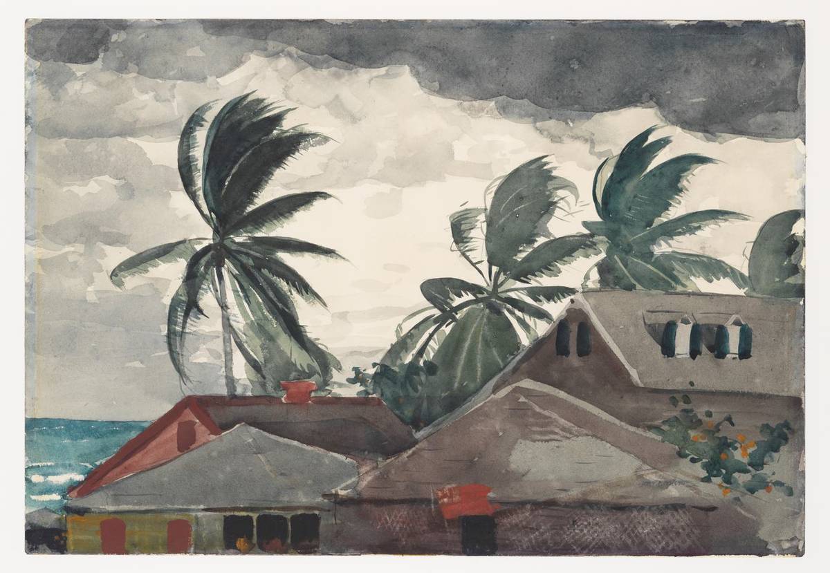
Eight months ago Hurricane Melissa came ashore in Jamaica as a Category 5 storm, and seventy thousand farmers lost crops, livestock or equipment. It was the most destructive tropical system in the island's recorded history. Farming took J$29.5 billion in damage, and more than half of Jamaican households were food insecure by Christmas. The 2026 Atlantic hurricane season opens today, June 1.
Jamaica has since launched a $3 billion agricultural recovery plan and, ahead of this season, committed $50 million to protect farmers. That money buys seeds, feed and repairs. It does not buy an earlier warning, a faster damage survey, an insurance payout that arrives in days, or a way to route relief food to the parishes that need it most. Those four gaps, plus one on crop choice, are where AI fits, and all five can be started this season with tools that already exist.
What Melissa did to Jamaican farming
Melissa struck on October 28, 2025 and damaged or destroyed 41,000 hectares of farmland. More than 1.25 million livestock died, including nearly 40 percent of the island's egg-laying birds. Bananas, yam, sugar cane, pigeon peas and fruit trees were flattened across several parishes.
The food shock followed within weeks. A Caribbean food security survey after the storm found 54 percent of Jamaican households food insecure and 39 percent with reduced food stocks. Six months later conditions had improved, but a third of households were still not eating enough fruit and dairy each week. Rural families, older people and children in inner-city communities carried most of that shortfall.
The Inter-American Development Bank's analysis of Jamaica's post-Melissa financing noted that the agricultural losses exceeded what the country's existing disaster risk financing instruments were built to cover. So the island enters this season part-way through recovery, with the same exposures in place.
Why one storm hits Caribbean food supply twice
Most Caribbean islands import between 60 and 80 percent of the food they eat. When a major hurricane passes, it wipes out local production and damages the ports and roads that bring imports in, at the same time. Prices rise, poorer households cut meals, and the gap lasts until one of those two supply lines is restored.
The World Food Programme has repeatedly listed the Caribbean among the regions most exposed to this combination of climate shock and food insecurity. Governments here have little fiscal room, so each storm tends to be paid for with new debt, which leaves less to spend on preparing for the next one.
AI does not change the hurricane risk. What it can change is the quality of decisions in the 48 hours before landfall and the 72 hours after, and the speed at which money and food reach farmers.
Five AI tools that fit Caribbean farming
1. Storm alerts written for farmers
Today's warnings tell people to evacuate or stay indoors. A farmer needs something different: a banana grower in St Mary needs to know whether to harvest early or prop the plants, and a poultry farmer in St Catherine needs to know whether the houses will flood.
AI weather models such as Google DeepMind's GraphCast produce global 10-day forecasts at roughly 25 km resolution. That is too coarse for a single valley on its own. Paired with local rain gauges, river level sensors and a flood model for each watershed, it can drive farm-level alerts sent by SMS or WhatsApp.
The system needs three inputs:
- a digital farmer registry: who farms where, and what they grow;
- enough rain, river and wind sensors to correct the regional forecast locally;
- software that turns forecast plus farm map into a plain-language instruction, such as "harvest ripe fruit by Tuesday evening".
Jamaica hosts the 2026 Caribbean Week of Agriculture with a focus on innovation. That meeting is the obvious place to agree the data-sharing rules a multi-island version would need.
2. Satellite damage maps within a day
After Melissa, the Ministry of Agriculture needed weeks for its preliminary damage assessment, because inspectors had to reach each farm over broken roads. Satellite analysis can cut that to about a day.
The standard method compares a vegetation index (NDVI) from pre-storm imagery with the first clear image after the storm. Fields that lost their green signal show up at once, and the result can be summarised by parish or by registered farm. Commercial providers such as Planet Labs and Satellogic sell this imagery, and platforms such as Farmonaut package the analysis for agriculture.
Cloud cover after a storm often blocks optical satellites for days. Radar satellites and drone flights fill that gap. A single regional contract, run through CCRIF or a group of agriculture ministries, would cost each island less than buying imagery alone.
3. Parametric crop insurance for smallholders
Most Caribbean smallholders have no crop insurance. Traditional policies need an adjuster visit and a claims file, and a payout six months after the storm arrives after the replanting window has closed.
Parametric cover pays when a measured trigger is met, for example wind above 120 km/h for two hours at the farm's GPS location. No adjuster visits. Payment can arrive within days.
The weak point is basis risk: the trigger can fire when the farm was spared, or stay silent when the farm was ruined. Better AI weather reconstruction at each insured location narrows that gap, and satellite damage maps let the insurer check how well the trigger matches actual losses after each season. CCRIF already sells parametric cover to governments. Pushing a version down to individual farmers, through co-operatives or credit unions, is the next step.
4. Crop and variety choice for a changing climate
Some of Melissa's losses came from choices that can be changed: shallow-rooted crops in flood-prone valleys, single-crop farms with nothing to fall back on, and bananas in wind corridors left standing because the warning came too late.
An advisory service over SMS or WhatsApp can send crop-specific preparation steps before each storm and planting advice between seasons: which cover crops hold soil on slopes, which varieties recover fastest from wind damage. Text-message advisory services for smallholders are well established in East Africa and South Asia, so the delivery model is proven. The Caribbean part of the work is the local crop content.
Over a longer horizon, models that combine climate projections with crop trial data can show which varieties stay viable under 2030 and 2040 conditions. CARDI and UWI hold much of the trial data that such models need.
5. Routing relief food and farm inputs
After Melissa, food sat in Kingston and Montego Bay while rural communities were cut off by damaged roads. Relief was coordinated by phone calls and WhatsApp groups, much as it was after Ivan in 2004.
A logistics tool that combines road status reports, community population figures, the satellite damage map and depot stock levels can plan delivery routes and re-plan them as roads reopen. It also shows which communities have received nothing, which is the list a coordinator most needs. The software is standard vehicle routing. The hard part is having the population and depot data loaded before the storm, not after.
What each tool needs and who should own it
| Tool | First data needed | Natural owner |
|---|---|---|
| Farmer storm alerts | Digital farmer registry, local rain and river sensors | Ministry of Agriculture with the Meteorological Service |
| Satellite damage maps | Pre-storm baseline imagery, parish and farm boundaries | Ministry of Agriculture, regionally through CCRIF |
| Parametric farm cover | Historic storm tracks and crop loss records | Insurers, co-operatives, credit unions |
| Crop and variety advice | Crop trial results, soil maps | CARDI, UWI, extension officers |
| Relief routing | Community population, depot stock, road network | National disaster office with the ministry |
The farmer registry appears in three of the five rows. It is the cheapest item on the list and the one to build first.
What to do before the first major storm
- Agriculture ministries: buy pre-storm baseline satellite imagery for every farming parish this month, while skies are clear, so a damage map can be produced within 24 hours of the next landfall.
- Ministries and extension services: audit the farmer registry. Every registered farm needs a GPS point, main crop and a mobile number that can receive SMS. Set a target percentage of farms covered by the end of July.
- Meteorological services: pilot a farm-level alert in one watershed with a flood history this season. Send a plain instruction by SMS to registered farmers 48 hours before expected impact, and record how many acted on it.
- CCRIF, CARDI and regional ministries: use the Caribbean Week of Agriculture to agree a shared satellite imagery contract and a common farm data format, so islands are not buying the same pictures separately.
- Co-operatives and credit unions: ask an insurer to price a small parametric wind policy for members in the highest-risk parishes, with the trigger location and threshold printed on the policy so farmers can check it.
- UWI campuses: give agronomy and computer science students joint projects on the registry and damage mapping, so the region has people who can maintain these systems in five years.
Frequently Asked Questions
How does a Jamaican farmer get onto the farmer registry?
Register with the Rural Agricultural Development Authority (RADA), which keeps the national farmer register through its parish offices and extension officers. Registration records the farm location, crops and livestock, and it is the list the ministry uses when it distributes post-storm support. A farmer who is not registered is harder to reach with alerts, seed and feed after a storm. Check that the mobile number on file is current before the season peaks.
Can a small island get satellite damage maps without paying for imagery?
Yes, for a first version. The European Space Agency's Sentinel-2 satellites provide free optical imagery at 10 metre resolution through the Copernicus programme, with a new pass every few days, and Sentinel-1 provides free radar imagery that sees through cloud. That is fine enough to map damage by field block and parish, though not by individual banana row. Commercial imagery is worth buying when a ministry needs farm-level detail within hours.
What is basis risk, and how can a farmer check it before buying parametric cover?
Basis risk is the chance that the trigger and your actual loss disagree: the policy pays when your farm was spared, or pays nothing when it was destroyed. Before buying, ask where the trigger is measured, how far that point is from your farm, and what the policy would have paid in past storms such as Melissa and Beryl. If the insurer cannot show that back-test, treat the policy with caution. Insurance products in Jamaica are regulated by the Financial Services Commission, which can confirm whether the seller is licensed.
Do farmers need smartphones for AI storm alerts to work?
No. The forecasting and mapping run on the ministry's or provider's systems, and the alert itself can go out as a plain SMS that any basic phone receives. WhatsApp adds voice notes and photos but excludes farmers without smartphones or data. The common mistake is writing alerts in forecaster language; test the wording with a handful of farmers before the season and keep each message to one action and one deadline.
How is this different from the early warning systems Jamaica already has?
The existing warnings from the Meteorological Service and ODPEM are built for public safety and cover whole parishes or the whole island. A farm alert takes the same forecast and adds the farm's location, crop and flood exposure, so the message is an instruction about that field. It supplements the national warning and should never contradict it, so the ministry and the Met Service need to agree the wording rules in advance.